
Drone Photography in Rosebank, Johannesburg.
Rosebank — mixed-use urban core with residential towers above retail and offices. Aerial stills and 4K aerial video for property, development and brand work. Every flight is planned around the airspace, the wind and the site — daylight, visual line of sight, below 400ft, with written property consent on file. Controlled-airspace and commercial-for-hire flights are booked through a certified partner operator.
new-generation glass residential towers, walk-up apartments
R1.8m–R12m
Rosebank Mall · The Firs · African Craft Market
young professionals, investor buyers, expat renters
What the aerial plate shows
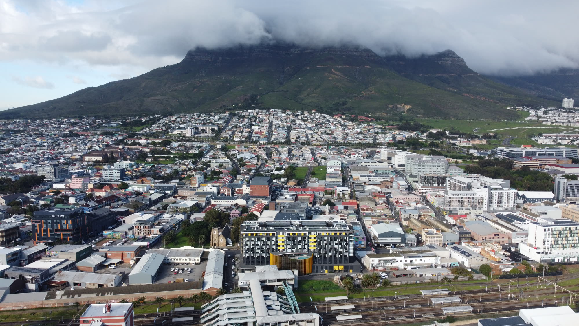
The core aerial package for a property is three plates: a top-down site plan at about 80m showing the stand size and boundary, a hero establishing shot at about 40m that includes the mountain or sea backdrop, and a low reveal at about 15m that carries the eye from the pool up to the front elevation. Estate homes add a wide plate that shows the security context — perimeter wall, guarded gate, greenbelt — which is a real driver for the family buyer market. Commercial and industrial mandates get a very different set: a top-down that reads the tenant mix, a corner elevation for the leasing brochure, and a parking plate for the yield story.
How we plan a flight
Every flight starts with three checks the night before: the airspace over the address, the wind and cloud base for the shoot window, and the consent position on the ground. Daylight, visual line of sight, below 400 feet and clear separation from people and neighbouring property are non-negotiable, and we agree a launch and landing point with the agent or estate manager before the day so the aircraft is never lifting off from a public pavement or a neighbour's verge. Each flight is logged with coordinates, launch time and battery cycle, which is what an estate manager or body corporate asks for when they want assurance. Jobs that need controlled-airspace clearance or a certified commercial operator are booked through a partner with the relevant SACAA approvals, quoted transparently and scheduled around their availability.
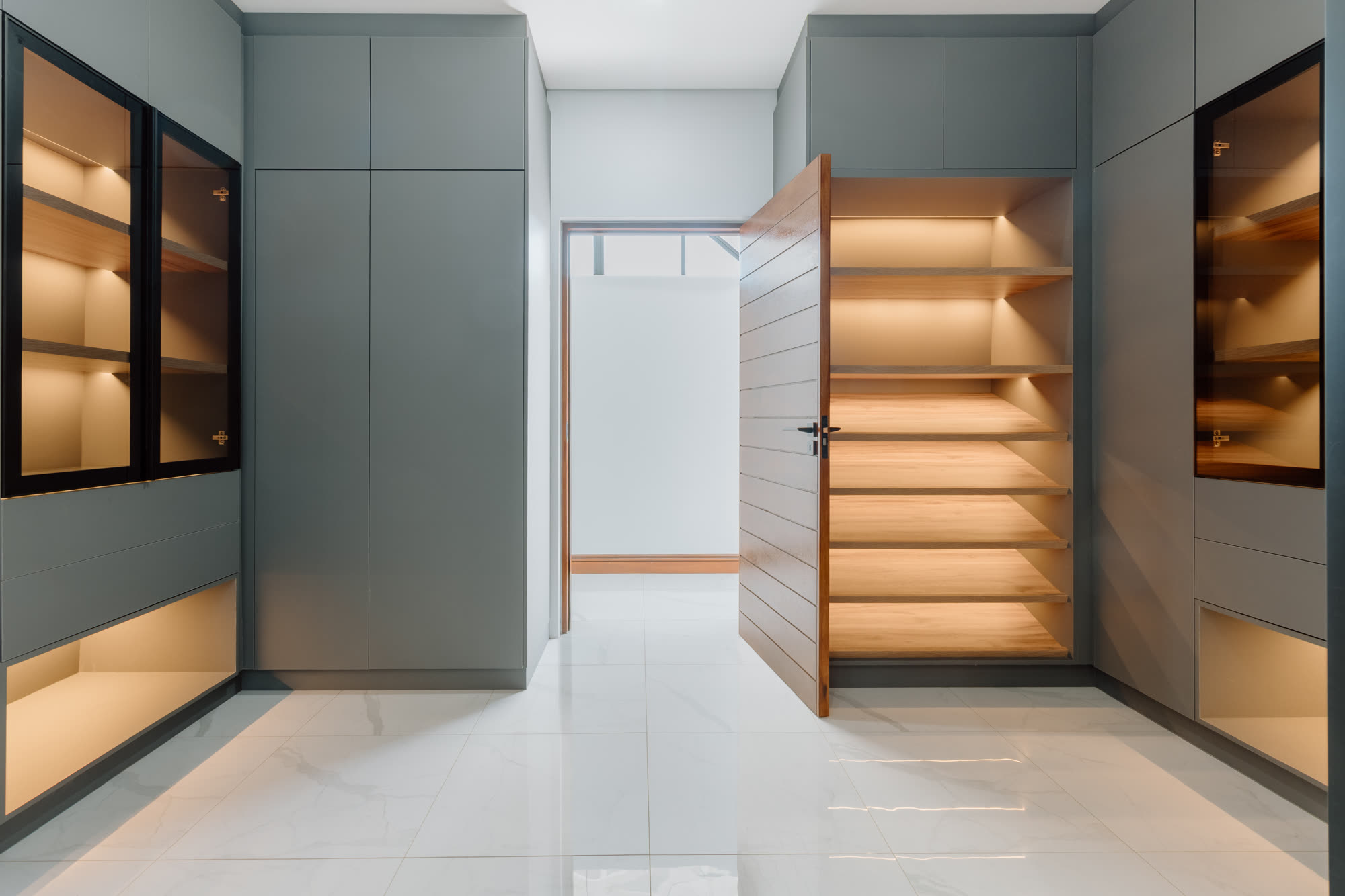
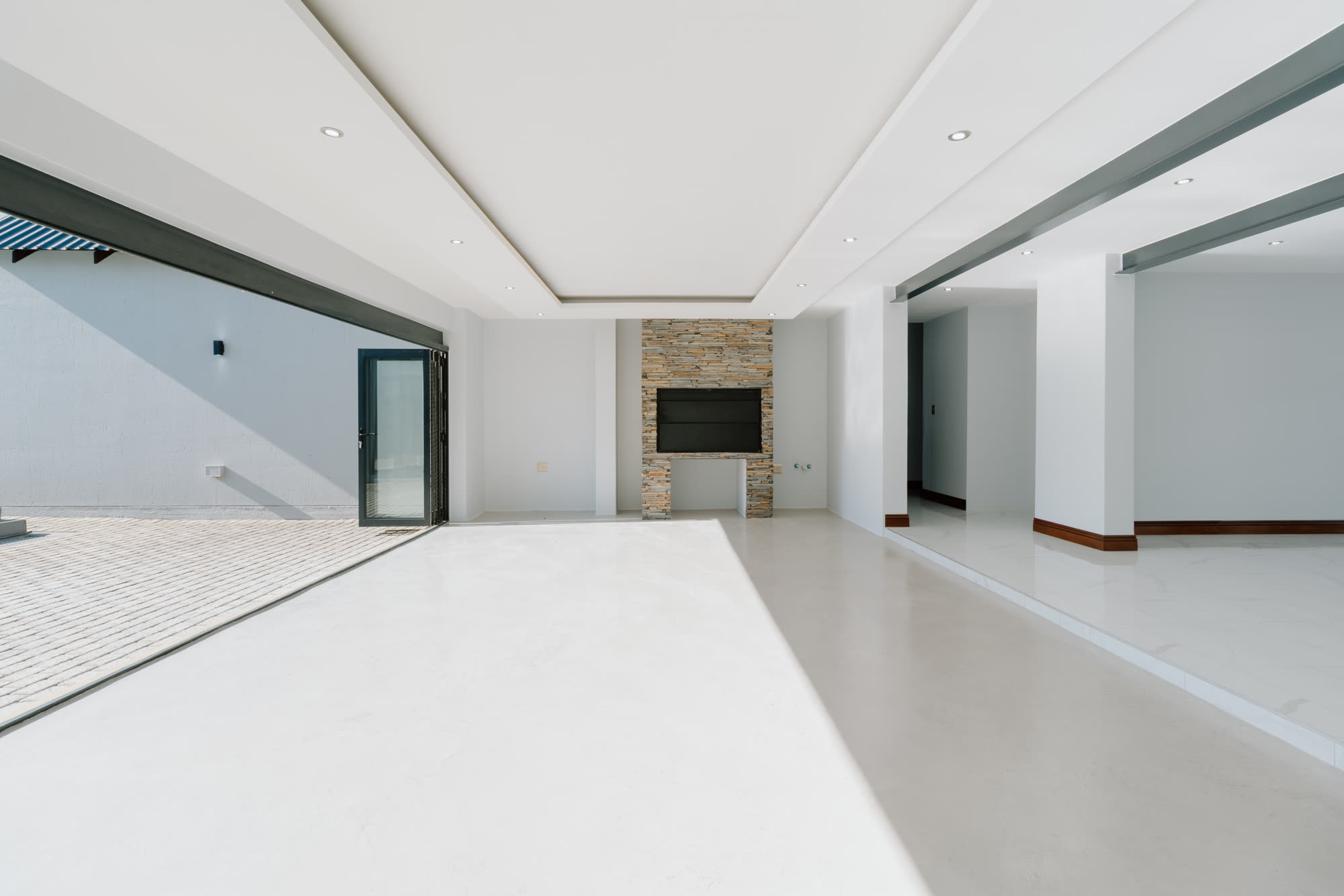
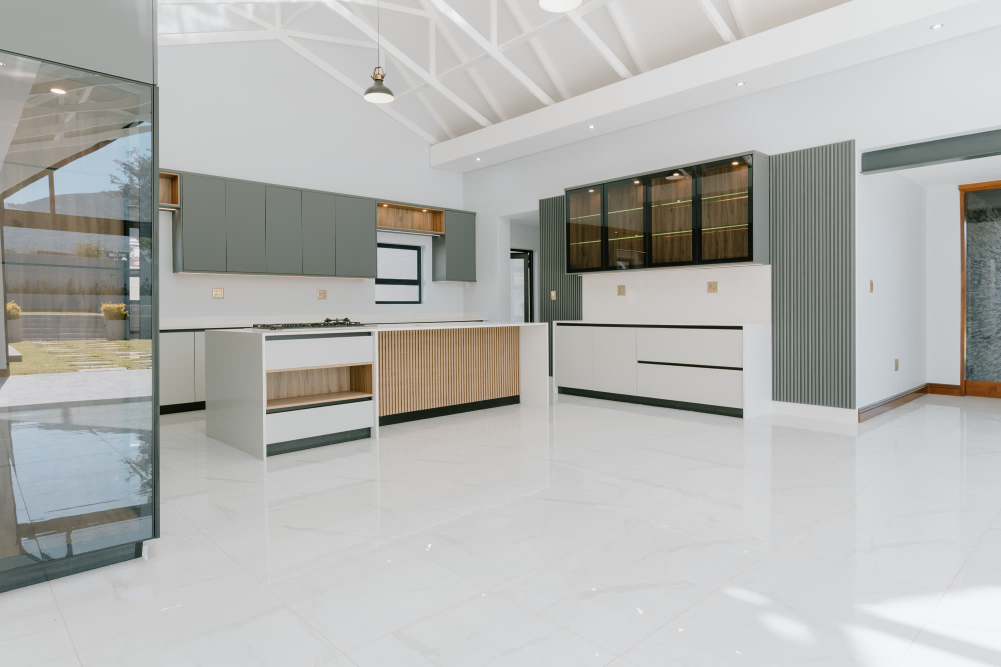
Gallery — Rosebank area frames
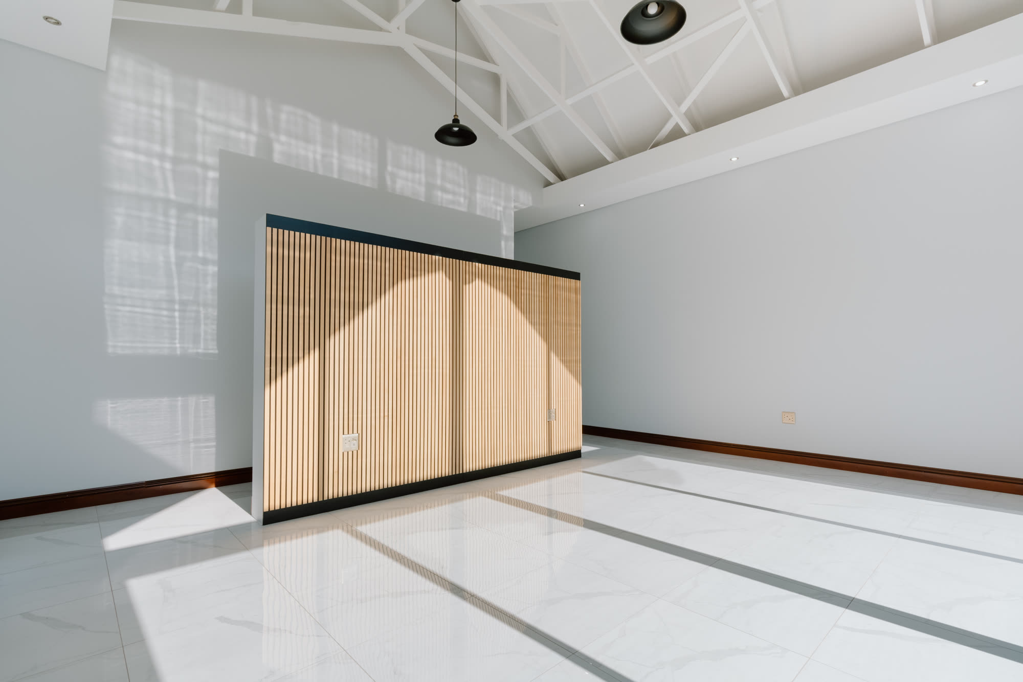
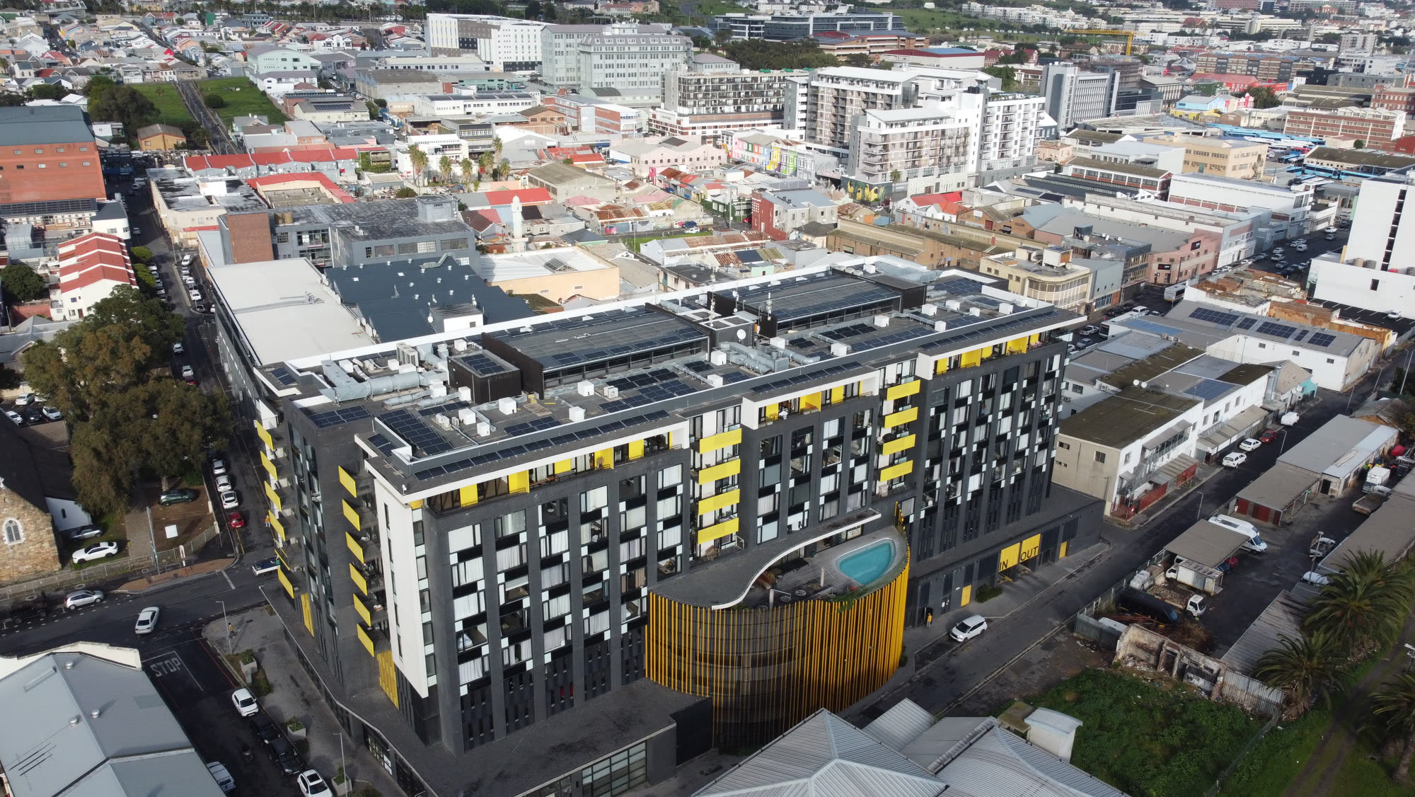
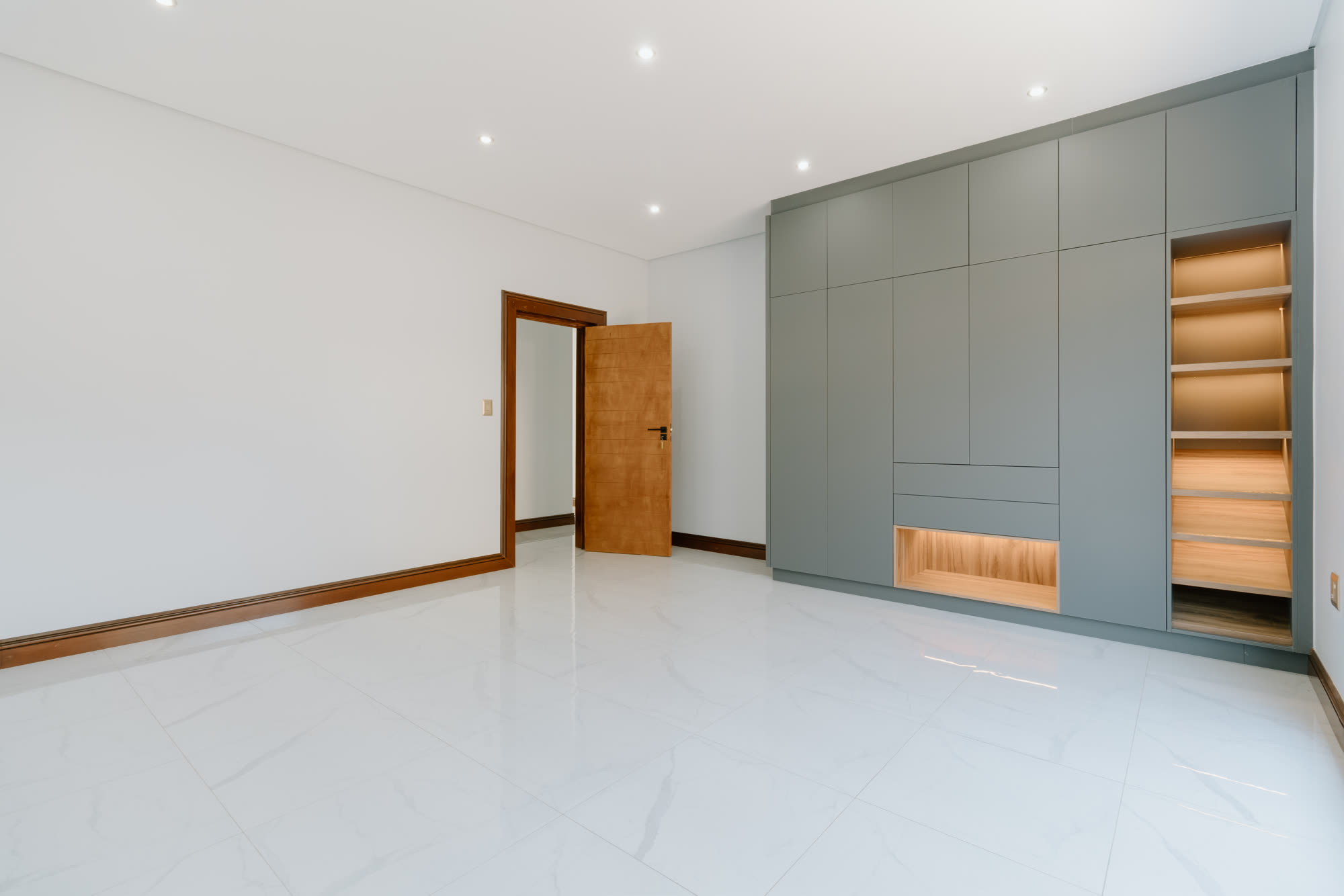
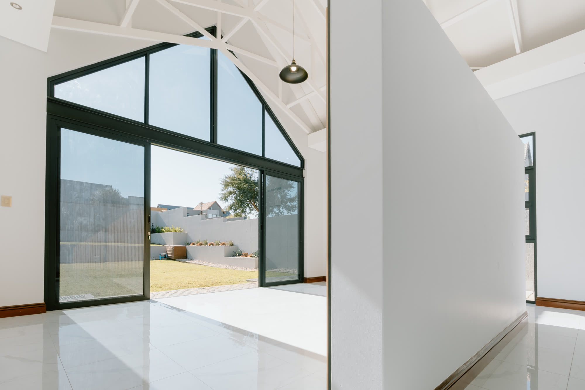
Rosebank drone photography & video — questions, answered.
Rosebank is mixed-use urban core with residential towers above retail and offices. New-generation glass residential towers, walk-up apartments — so we plan the drone photography & video around that stock and around the light: reflected light off the glass towers hits nearby apartments beautifully at 09:00. Drone work here: rosebank sits inside a very tight lanseria + or tambo overlap — every flight needs prior clearance. Buyers in Rosebank are typically young professionals, investor buyers, expat renters, and the edit is cut for them, not for a generic Johannesburg listing.
Book a Rosebank drone photography & video shoot.
Every quote starts with a five-minute call — we look at your property on satellite view together and plan around the light.
On location across Rosebank and roughly 12 km around it. Travel inside the metro is included in the quote.
5.0 ★ from 10 Google reviews →