
Drone Photography in Johannesburg.
Aerial stills and 4K aerial video for property, development and brand work. Every flight is planned around the airspace, the wind and the site — daylight, visual line of sight, below 400ft, with written property consent on file. Controlled-airspace and commercial-for-hire flights are booked through a certified partner operator.
Drone Photography & Video in Johannesburg — how we work locally
Johannesburg drone photography is planned around the Lanseria, OR Tambo, Rand and Grand Central CTR overlaps. Sandton, Bryanston, Hyde Park and Waterfall all fall inside the Lanseria 10km ring by the strict interpretation and need pre-flight airspace coordination for anything above 100 feet. Steyn City and Blue Valley are on the northern fringe where the ring effectively releases. Southern Johannesburg — Alberton, Meyersdal, Eye of Africa — sits between Rand Airport and OR Tambo and needs a NOTAM check every flight day. Highveld thunderstorm season pushes every shoot into the morning window; winter is the honest season for Johannesburg aerials, with cleaner light, more forgiving wind and no afternoon lightning risk to the drone or the pilot.
Every Johannesburg shoot is planned around light, wind and load-shedding — we brief the schedule the night before and confirm the call time with the agent or homeowner.
Coastal and Winelands wind
Cape Town costs drone shoots more days than any other factor. The southeaster typically comes up at 10:00 or 11:00 in summer and pushes wind speed well above the aircraft's stable operating envelope by lunchtime. We book Bloubergstrand, Big Bay, Camps Bay, Clifton and Llandudno flights for the first two hours after sunrise, keep a second morning slot as a rain check, and never promise a same-day exterior. Winelands flights around Constantia, Franschhoek and Stellenbosch fare better in the afternoons when the mountain shelters the vineyard from the wind. Hout Bay is a specific coastal microclimate — the wind funnels through the valley and the drone gets grounded quickly.
What the aerial plate shows
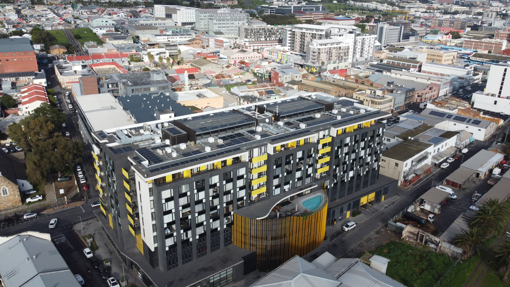
The core aerial package for a property is three plates: a top-down site plan at about 80m showing the stand size and boundary, a hero establishing shot at about 40m that includes the mountain or sea backdrop, and a low reveal at about 15m that carries the eye from the pool up to the front elevation. Estate homes add a wide plate that shows the security context — perimeter wall, guarded gate, greenbelt — which is a real driver for the family buyer market. Commercial and industrial mandates get a very different set: a top-down that reads the tenant mix, a corner elevation for the leasing brochure, and a parking plate for the yield story.
Data delivery and licensing
Every drone shoot ships eight to fifteen edited stills at 20 megapixels, a 30-second aerial reel where the brief calls for it, and the GPS-logged shot list so the flight is fully documented for the estate manager and the seller. The raw DNGs stay on our archive for two years. Licensing follows the same 24-month paid-media rule as our stills — the agent and the agency can use every plate in listing ads, brochures and social media without extra fees. Where the shoot is on a security estate that requires a written scan of the aerial imagery, we submit the final selection to the estate manager for sign-off before delivery.
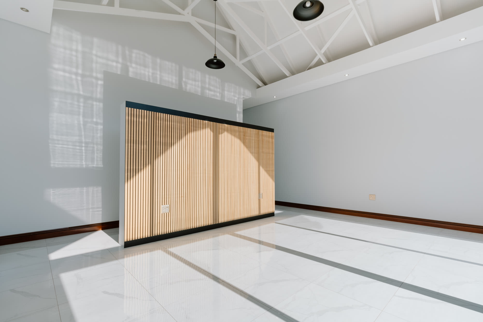
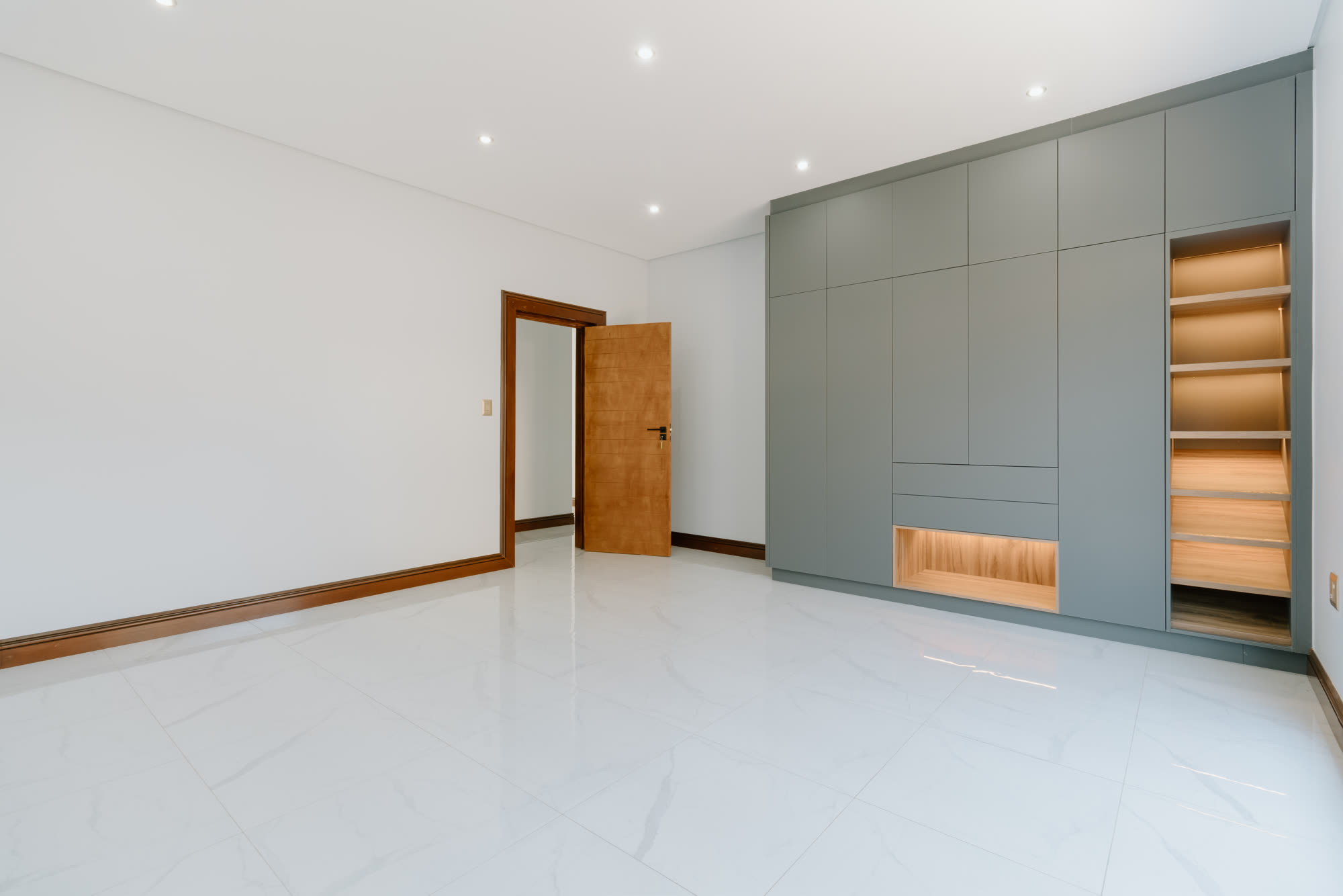
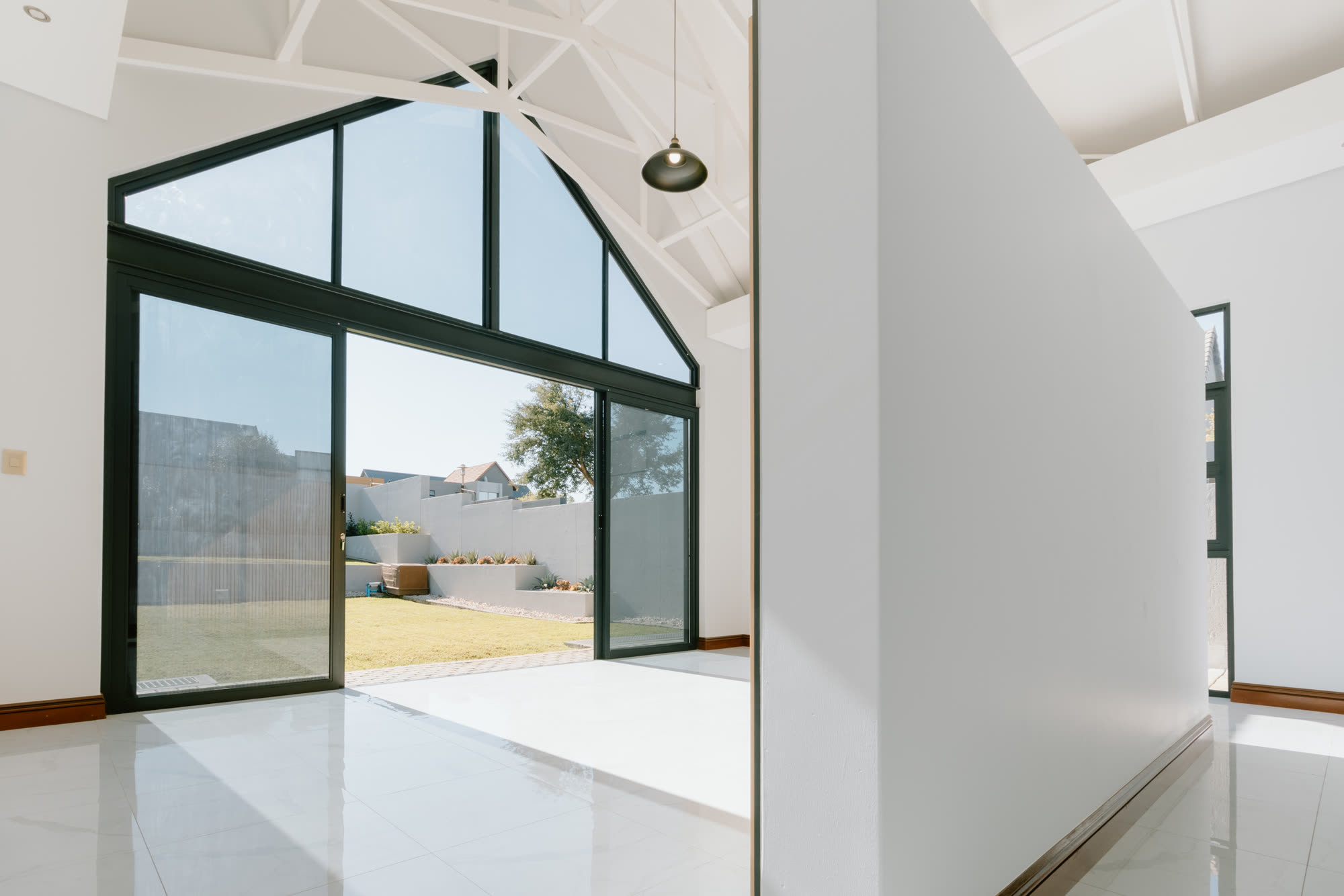
Recent frames from Johannesburg
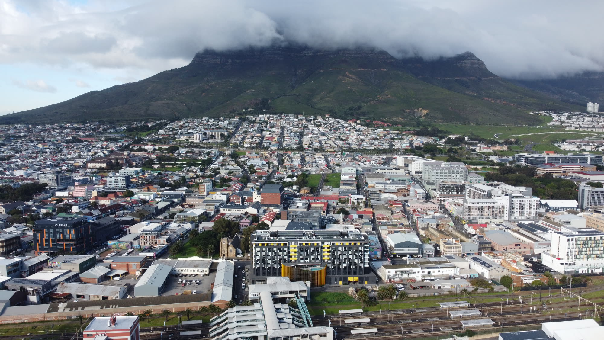
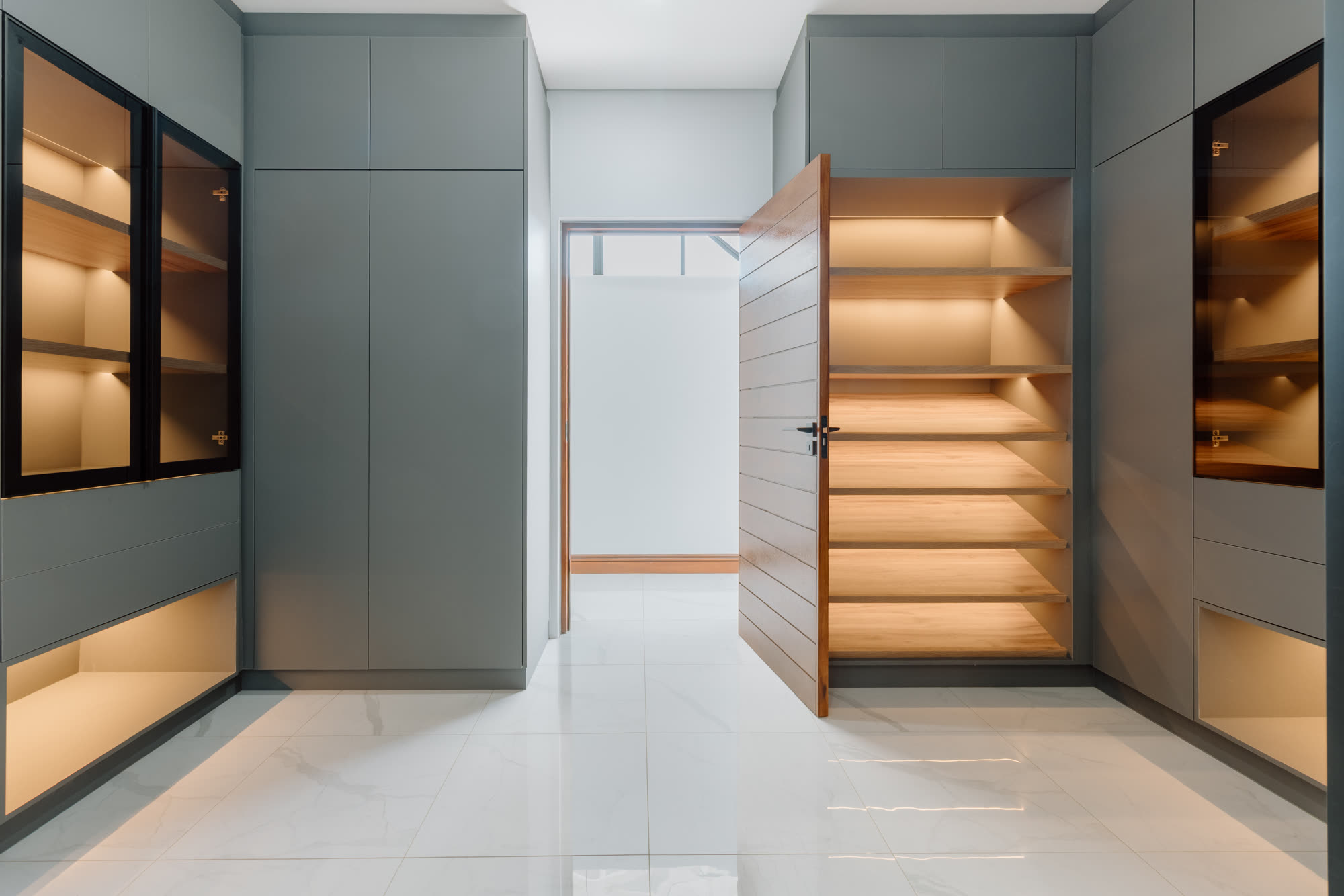
Suburbs we cover for Drone Photography & Video in Johannesburg
Every suburb below has its own aspect, its own drone-airspace note, and its own architectural language. Click through for a page written specifically for that address.
- Drone Photography & Video — Sandton
- Drone Photography & Video — Hyde Park
- Drone Photography & Video — Bryanston
- Drone Photography & Video — Morningside
- Drone Photography & Video — Rosebank
- Drone Photography & Video — Melrose
- Drone Photography & Video — Illovo
- Drone Photography & Video — Parktown
- Drone Photography & Video — Parkhurst
- Drone Photography & Video — Parkview
- Drone Photography & Video — Greenside
- Drone Photography & Video — Melville
- Drone Photography & Video — Houghton Estate
- Drone Photography & Video — Saxonwold
- Drone Photography & Video — Killarney
- Drone Photography & Video — Dunkeld
- Drone Photography & Video — Atholl
- Drone Photography & Video — Fourways
- Drone Photography & Video — Dainfern
- Drone Photography & Video — Bedfordview
- Drone Photography & Video — Sunninghill
- Drone Photography & Video — Midrand
- Drone Photography & Video — Waverley
- Drone Photography & Video — Alberton
- Drone Photography & Video — Eye of Africa
- Drone Photography & Video — Edenvale
- Drone Photography & Video — Sandhurst
- Drone Photography & Video — Hurlingham
- Drone Photography & Video — Lonehill
- Drone Photography & Video — Kyalami
- Drone Photography & Video — Benoni
Ready to shoot drone photography & video in Johannesburg?
Every quote starts with a five-minute call. No packages, no fine print, no pressure.
Drone Photography & Video in Johannesburg — questions we get asked
Property and brand aerials are flown in daylight, within visual line of sight, below 400 feet, with written owner consent and a logged flight record. Where a brief needs controlled-airspace clearance or a certified commercial operator, we book it through a partner who holds the relevant SACAA approvals and quote it openly.
On location across Johannesburg and roughly 45 km around it. Travel inside the metro is included in the quote.
5.0 ★ from 10 Google reviews →